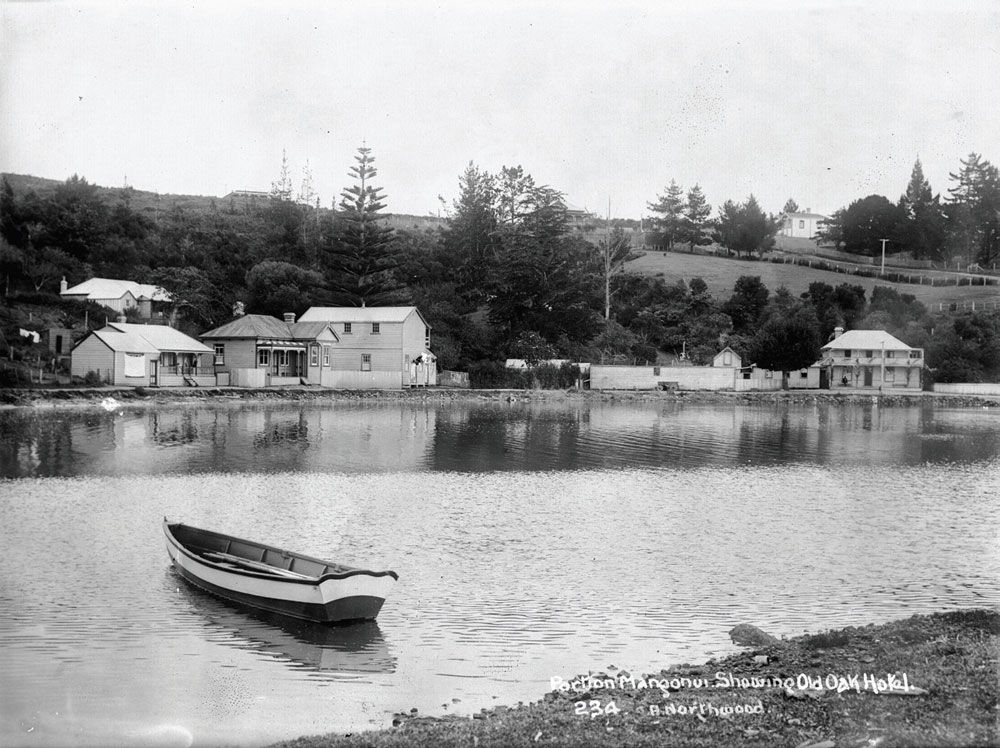
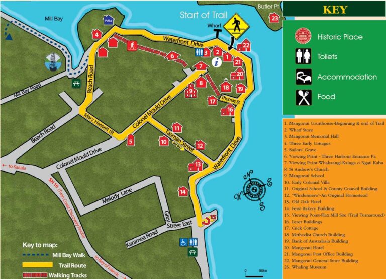
Heritage Trail of Mangonui | A fine walk around the Heritage Precinct of Mangonui township in Far North New Zealand | Site 15
VIEWING POINT FOR THE FLAX MILL SITE
Eight hundred meters to the south, at the intersection of Waterfront Road and State Highway 10 is Pikiwhahine Stream. This was the site of a flax mill operated by local Maori in the 1860s.
New Zealand flax was used for making ropes, bearing a greater strain than many other materials available at the time. In the 1860s, a ton of dressed flax was valued in England at 18-25 pounds sterling. The flax price peaked in 1873, after shortages of manila were caused by the American Civil War. Prices then slumped until around 1900 when they increased again.
The flax mill then operated for at least another ten years by Messrs. Gillibrand and Bray.
Notes: Now turn and follow Waterfront Drive north back toward Mangonui township. Walkers are advised to take the footpath and boardwalk on the waterside of the road around the bluff to The Leser Buildings Site 16.