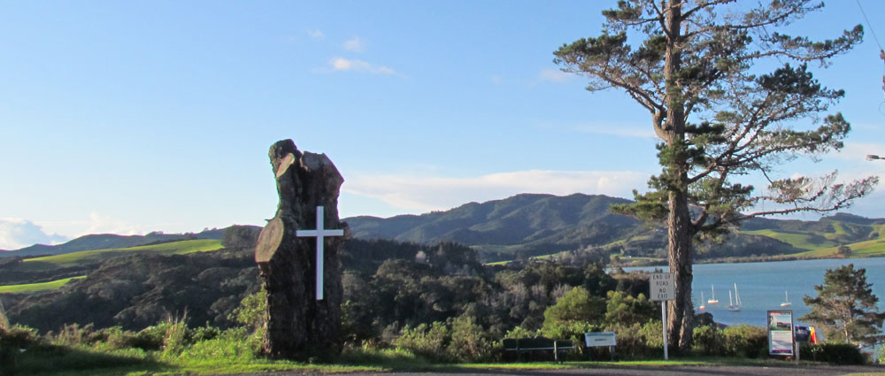
Heritage Trail of Mangonui | A fine walk around the Heritage Precinct of Mangonui township in Far North New Zealand | Site 7
VIEWING POINT – WHAKAANGI – KAINGA O NGATI KAHU
The oral genealogy of Ngati Kahu links them to the chief Te Parata, the canoe Mamaru, and the mountain Whakaangi (320m above sea level) overlooking Mangonui Harbour and Doubtless Bay.
There were large village sites on the coastal slopes of the mountain. Many food storage pits, terraces, defensive ditches, and burial sites are still visible.
Scattered over Whakaangi, among the forest regrowth, are kauri trees more than 600 years old. The native forest of Whakaangi is the northernmost remnant of mainland New Zealand forest. It is only in the last 2.5 million years that sand spits joined what were once island areas of KariKari and Aupouri Peninsulas to the mainland. A predator trapping program on the mountain is providing a safe haven for brown kiwi, which are increasing in numbers.
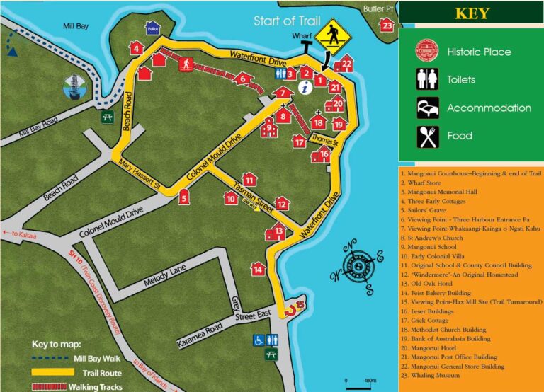
Next:Cross the end of Colonel Mould Drive to St Andrew’s Anglican Church Site 8.